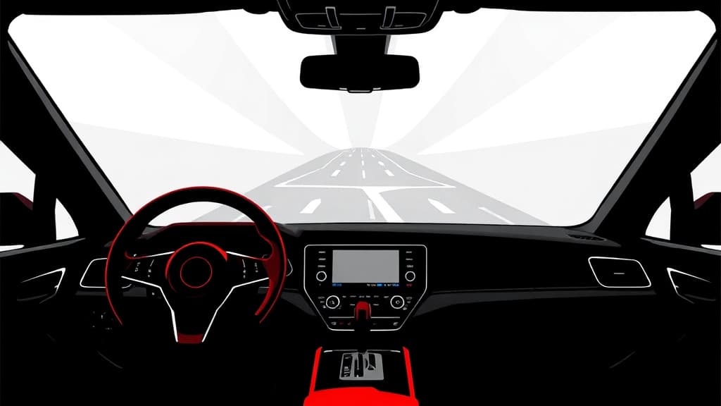
Google is pushing its new "Immersive Navigation" interface into Android Auto, turning your car's dashboard into another node on the company's surveillance grid — and selling it as a visual upgrade.
The rollout, confirmed by users on Reddit's r/AndroidAuto subreddit, brings 3D buildings, individual trees, and translucent landmarks to Google Maps on vehicle displays. Android Police reports the feature draws on "Google's large amount of data from years and years of Street View and satellite imagery" to render your route in three dimensions. That's the pitch: richer visuals, easier turns, buildings that fade transparent when they block your view. The catch is what powers it — and what it powers in return.
Both XDA Developers and Android Police frame this as a straightforward consumer win. Android Police called it "exactly what Android Auto fans need" and "a striking" visual upgrade. XDA noted the "revamped 3D design with better, more pronounced landmarks." Neither outlet paused to ask what Google gets out of putting a richer, more detailed map — fed by years of collected imagery — in front of drivers who already carry location-tracking devices in their pockets.
The update appears to be server-side, meaning Google flips the switch remotely. Android Police noted it "doesn't seem to be tied to any specific version of Android Auto," and XDA confirmed that even users running older versions may see the new UI appear. Translation: you don't opt in. Google decides when your dashboard gets the upgrade, and there's no clear way to force it or refuse it if you don't have it yet.
The feature coincides with Android Auto v17.3, though Android Police described that version as otherwise unremarkable — a contrast to the prior 17.2 update, which "introduced a bunch of bugs and crashes." CarPlay users got the immersive UI earlier, and XDA reports the timeline for a full iOS rollout remains unclear.
Here's the stake: every mile you drive with Google Maps active feeds the company's location database. The 3D rendering requires constant data pulls — satellite imagery, Street View assets, real-time positioning — all processed through Google's servers. The more detailed the map, the more precise the location fix, the more valuable the data. You get a building that goes translucent so you can see the road. Google gets a high-fidelity record of where you drove, when, and how fast.
This is the pattern. Big Tech offers convenience, buries the cost in fine print, and counts on the press to ooh and aah over the features. Two tech outlets covered this rollout. Zero mentioned privacy.
The question isn't whether 3D buildings look nice on your dash. It's whether Americans should keep accepting ambient surveillance as the price of a decent turn-by-turn direction — and whether anyone in the press will ever ask before the next upgrade rolls out.